

Mar
The Flawed History of Metrorail’s Experience Design
[responsivevoice_button voice=”UK English Female” buttontext=”Listen to Post”]
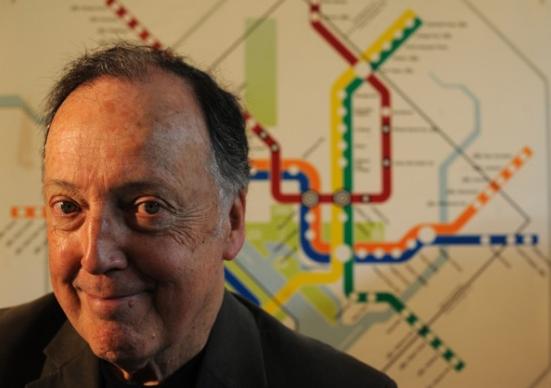
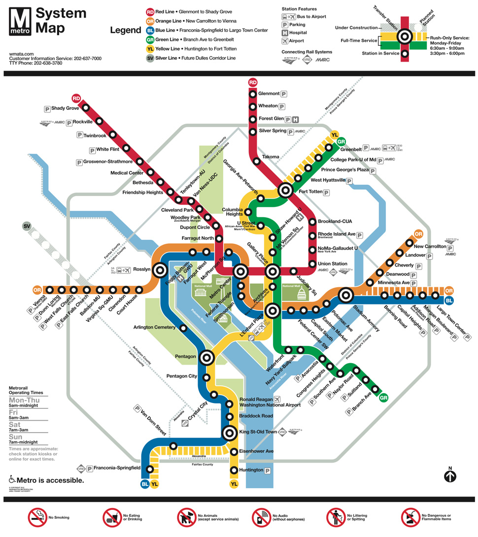
In 2011, Wyman & Associates were once again tapped to redesign the Metrorail, my hopes were high. I thought surely someone with Lance Wyman‘s level of influence would encourage a more radical approach to the way we navigate this city. D.C. is changing from a mid-sized commuter town to a city-centric metropolitan. Instead, we got promotions for stations that are not yet available, and the renaming of a Red Line station — NoMa-Gallaudet University — largely for marketing and real estate purposes.
Audio | 99% Invisible | The Soho Effect
Sadly, this kind of approach is not new. It has been like this since the beginning stages of designing the Metrorail.
An Always-Divided DC
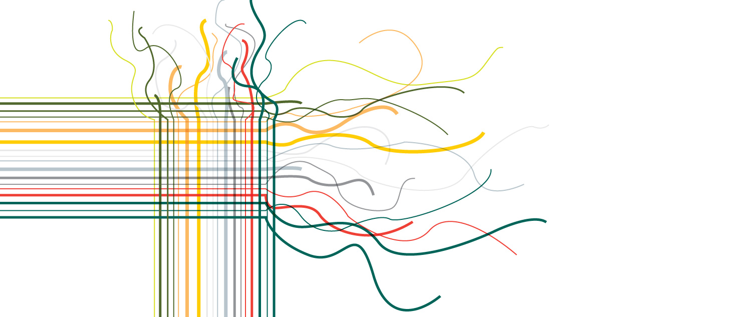
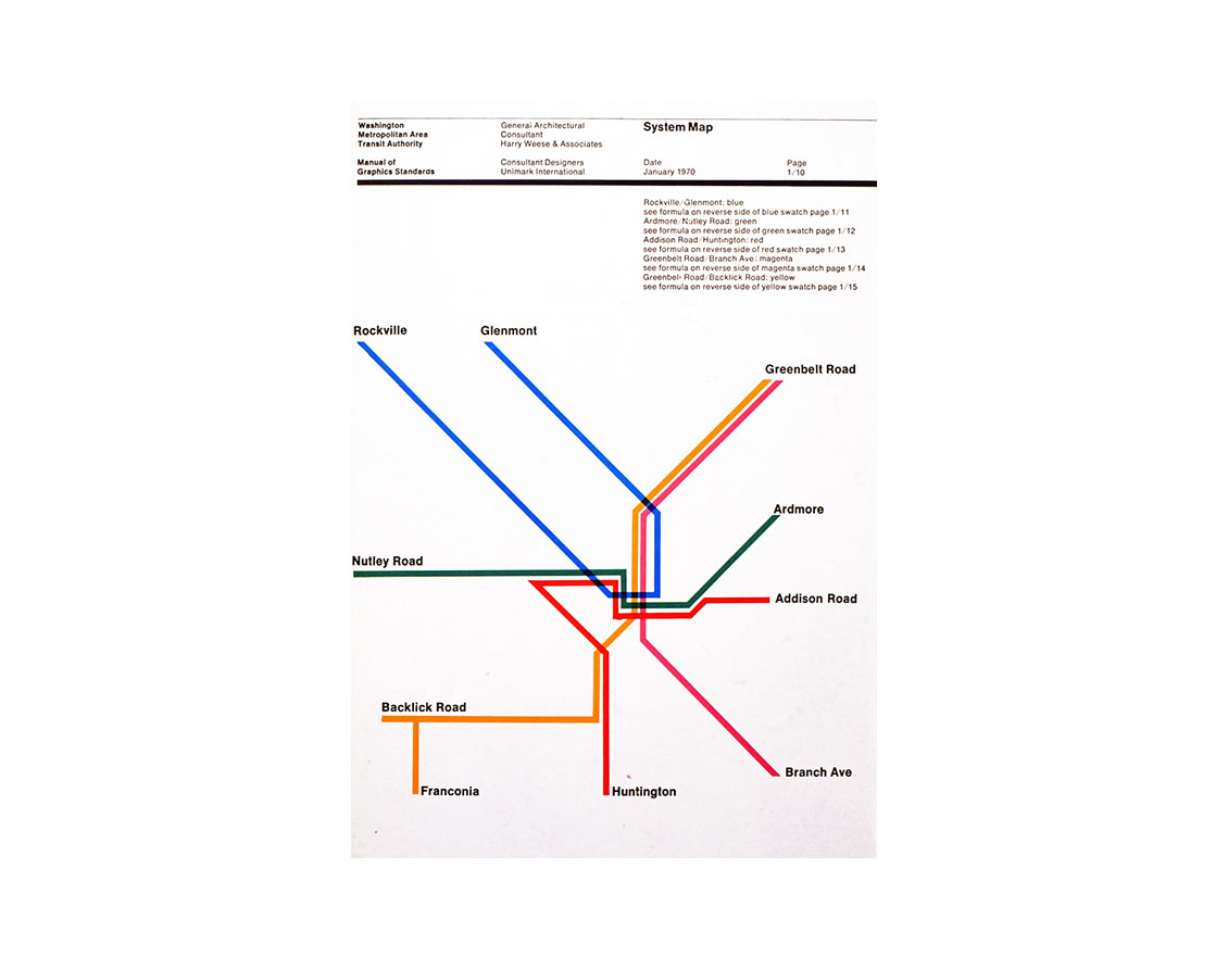
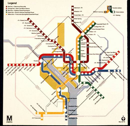
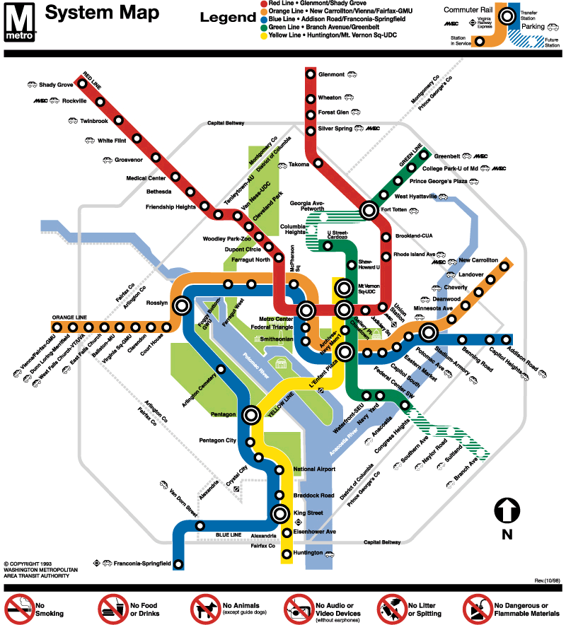
Early iterations of the DC Metro map were designed, less as a feature of a burgeoning, vibrant, diverse, bustling metropolis, but as a conduit for suburban commuters to be dropped off at work, then go home outside the city limits. Note what is seen on the map: waterways, parks, icons for landmarks like the Washington Monument, U.S. Capitol Building, and Lincoln Memorial. Note what is not seen on the map: quadrants, lettered and numbered streets. This may seem harmless. But in a city that is largely African American, where divisions between class and race exist, these demarcations create dividing lines of power. This is a tactic designed to overlook the city, and with that an assumption no one of any importance lives and works in the District. Who gets to have a say in what happens in this city, and who it affects is reflected in the Metrorail map and design.
”Note what is not seen on the map: quadrants, lettered and numbered streets. This may seem harmless. But in a city that is largely African American, where divisions between class and race exist, these demarcations create dividing lines of power.
To correct this wrong, many stations are named after historical Black neighborhoods and memorials: U St./Cardozo, African-American Civil War Memorial, Anacostia, Deanwood stations in low-to-middle- income Black communities. But much like Farragut West, Dupont Circle, Woodley Park/Zoo/Adams Morgan — stations in largely White, middle-to-upper- income communities, the names become symbolic gestures rather than correcting systematic isolation and limiting access to resources.
The biggest dividing lines along class, race, and socioeconomic status fall along quadrants in the District. It’s not uncommon for Southeast and Northeast to be used as pejoratives. It’s now common for people to Google which neighborhoods are not safe in Washington.
‘Black Branding: How a D.C. Neighborhood Was Marketed to White Millennials
Imagine if we used the region’s biggest form of public transportation to change this misconception. No D.C. resident, regardless of where they live, should feel disconnected. Renaming the signage and wayfinding turns the Metrorail system into a more city-centric metropolitan ecosystem rather than a commuter rail.
”design presents the opportunity to right a past wrong. It can, with a different set of tools in the hands of people with unique perspectives, reimagine space where no one is isolated.
I cannot promise a rename and renavigation system will heal the deep wounds of racism and classism in Washington, D.C. They took decades to create and will take more than a few name changes to fully recover. But I do believe that design presents the opportunity to right a past wrong. It can, with a different set of tools in the hands of people with unique perspectives, reimagine space where no one is isolated. Consider Design an act of hope.